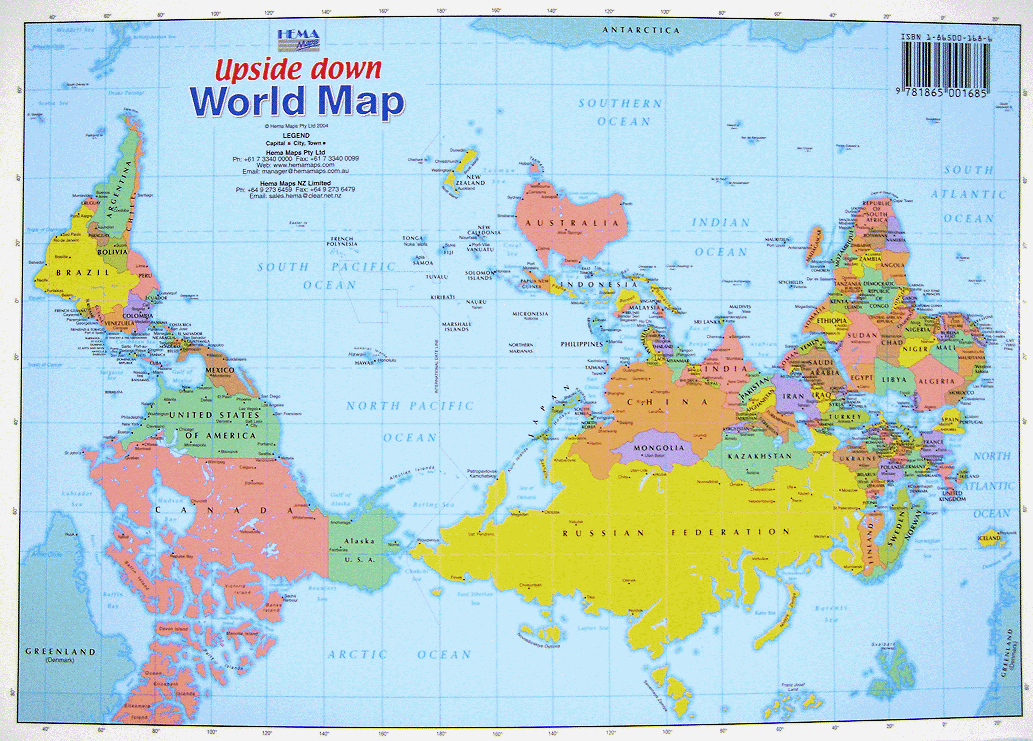
I have seen maps like this one which challenge the generally accepted view, and seek to break pre-conceived notions, but the question here was a little more fundamental.
Intuitively, it seems that for the early civilizations that flourished at the mercy of the Sun, for the success or failure of crops and the continuation of life itself, that the direction of the Sun's rise represented hope and might have been considered holy and God-like for power to give and sustain life. That being the case, it is not inconceivable that buildings of importance like temples and even palaces would have been oriented towards the east, in the direction of the Sun.
Then, when it came to depicting the map in images, social norms would dictate that the more important building be shown at the top of the image rather than at the bottom, with the result that East would probably feature on the top.
Something to think about? Maybe.
No comments:
Post a Comment